We also accept payments via Paypal
Huri Translations
Tel. +689 89 205 483
info@huri-translations.pf
PO BOX 365 Maharepa
98728 Mo'orea
French Polynesia
N°TAHITI 876649
Subscribe to our newsletter

A voyage through time reveals that Pānānā in the Hawaiian lexicon not only translates to "compass" but also "sighting wall", literally. The term offers a glimpse into the ancient Hawaiians' resourcefulness, hinting at their culture of building structures with stones for orientation, even before they encountered the Western compass.
The name Kahikinui itself, which translates to "Great Tahiti", holds a special place in oceanic voyaging. Oral traditions recall tales of legendary chiefs like Moʻikeha and Laʻamaikahiki. After a sojourn in Kauaʻi, Laʻamaikahiki ventured to Kahikinui, which was named in homage to him. His journey did not end there; he set sail once more, this time heading back to Tahiti from the western shores of Kahoʻolawe.
Supporting the ocean route between Hawaiʻi and Tahiti is tangible evidence, such as a stone adze originating from Nāpuka, in the Tuamotu, and discovered in Kahoʻolawe. Teaming up with archaeoastronomer Clive Ruggles, Patrick V. Kirch, in their co-authored masterpiece THE PĀNĀNĀ OR ‘SIGHTING WALL’ AT HANAMAULOA, KAHIKINUI, MAUI: ARCHAEOLOGICAL INVESTIGATION OF A POSSIBLE NAVIGATIONAL MONUMENT, embarks us on a mission to unravel the mysteries of the Pā nānā and its celestial significance, especially its association with Newe, the Southern Cross.
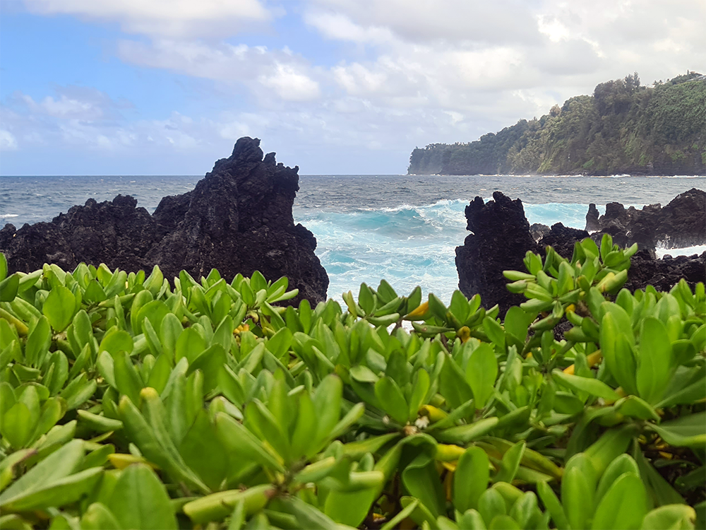
From its perch in Hanamauloa, the sight provides breathtaking panoramic views of the surrounding landscapes. Hawaiian oral narratives further accentuate the site's paramount importance during the early chapters of Polynesian settlement.
The lore speaks of the godly figures Kāne and Kanaloa, believed to be among the earliest deities in Hawaiʻi. Their journey began at Kahoʻolawe, then known by its original name Kanaloa, after the supreme god. From there, they sailed on Kealaikahiki, the "road to Tahiti", finally settling in Kahikinui in Maui, a region abundant with vital water sources. This perhaps points towards Hanamauloa's pivotal role in the initial phases of Polynesian exploration.
The most intriguing artifact in Hanamauloa is the Pānānā. Located at the southernmost point of Maui, this unique structure, LUA-27, stands proudly with its intricate stonework and a central notch, a hallmark of its design. However, dating this architectural marvel remains a challenge due to the scarcity of nearby cultural relics.
Other remarkable features in proximity include an ahu (stone cairn), an erect lava slab, and another distinctive structure, LUA-29, which appears to have been constructed in two distinct phases.
With corals, particularly the branching coral Pocillopora meandrina, being an integral part of ritualistic practices, the U-Th isotopic dating method offers a glimpse into the age of the structures in Kahikinui. This method, applied to sites LUA-28 and -29, reveals intriguing insights into their construction timelines.
In a collaborative study between Ruggles and Kirch in the early 2000s, the trio drilled into understanding the orientations of these ancient structures. Their findings unveiled:
1. Expansive, unobstructed views in all cardinal directions, offering vistas of Hawaiʻi Island's majestic peaks, the elusive Kahoʻolawe Island, and Puʻu ʻUlaʻula, the towering summit of Haleakalā.
2. The slightly off-center orientation of the Pānānā, with its notch offering glimpses of Newa, precisely as it would have been visible around 1444 CE.
3. A different alignment for the heiau, with its orientation pointing between Puʻu Pīmoe and Puʻu Hōkūkano, two cinder cones. This arrangement suggests possible astronomical alignments with Nā Huihui o Makaliʻi - the Pleiades - and the June solstice sun.
Given the importance of Makaliʻi, Matariʻi, Matariki, etc. in Polynesian ceremonies and the significance of solstice observations, the construction sites' placements seem to hold both astronomical and cultural relevance.
The vast plains of Hanamauloa, situated within the Kahikinui District, encapsulate an era of unparalleled navigational achievements by the Polynesians. The robust limb connections of the octopus, spanning from Hawaiʻi to distant lands, is an inked signature of their mastery of the stars and the seas.
Deep within the stunning landscapes of Maui lies an ancestral connection of the Polynesian voyagers to the stars and their original homeland. The Hawaiian archipelago, scattered across the vast expanse of the northern Pacific Ocean, has witnessed the extraordinary navigational prowess of the ancient Polynesians. Their sophisticated understanding of the skies above helped them weave a map across the seas, enabling them to discover and settle on distant lands. Central to this ancient navigation is the Pānānā kahiko, the traditional Hawaiian compass based on celestial bodies.
From there, they sailed on Kealaikahiki, the "road to Tahiti", finally settling in Kahikinui in Maui, a region abundant with vital water sources
In the vast plains of Kahikinui, Maui, nestled amidst rolling hills and overlooking the vast Pacific, is Hanamauloa. Here, an unusual stone wall stands in testament to the region's rich navigational history. During a visit in 1997, Rev. Kavika Kaʻalakea shared with Patrick V. Kirch that this unique structure was a 'sighting wall', pinpointing the ocean route back to Tahiti, the ancestral homeland of many Hawaiians.
The old Hawaiian Compass: Pānānā Kahiko's Celestial Connection